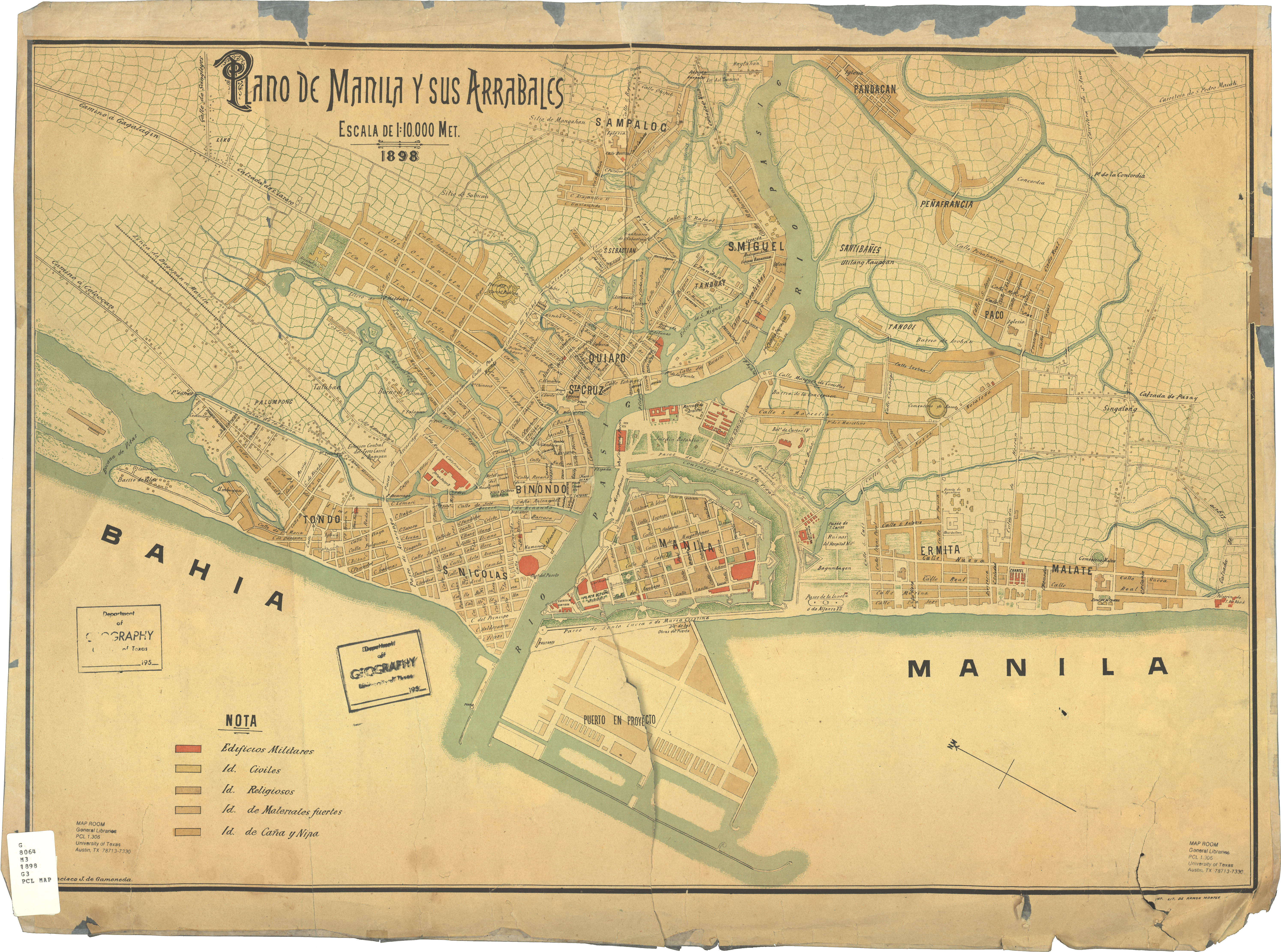
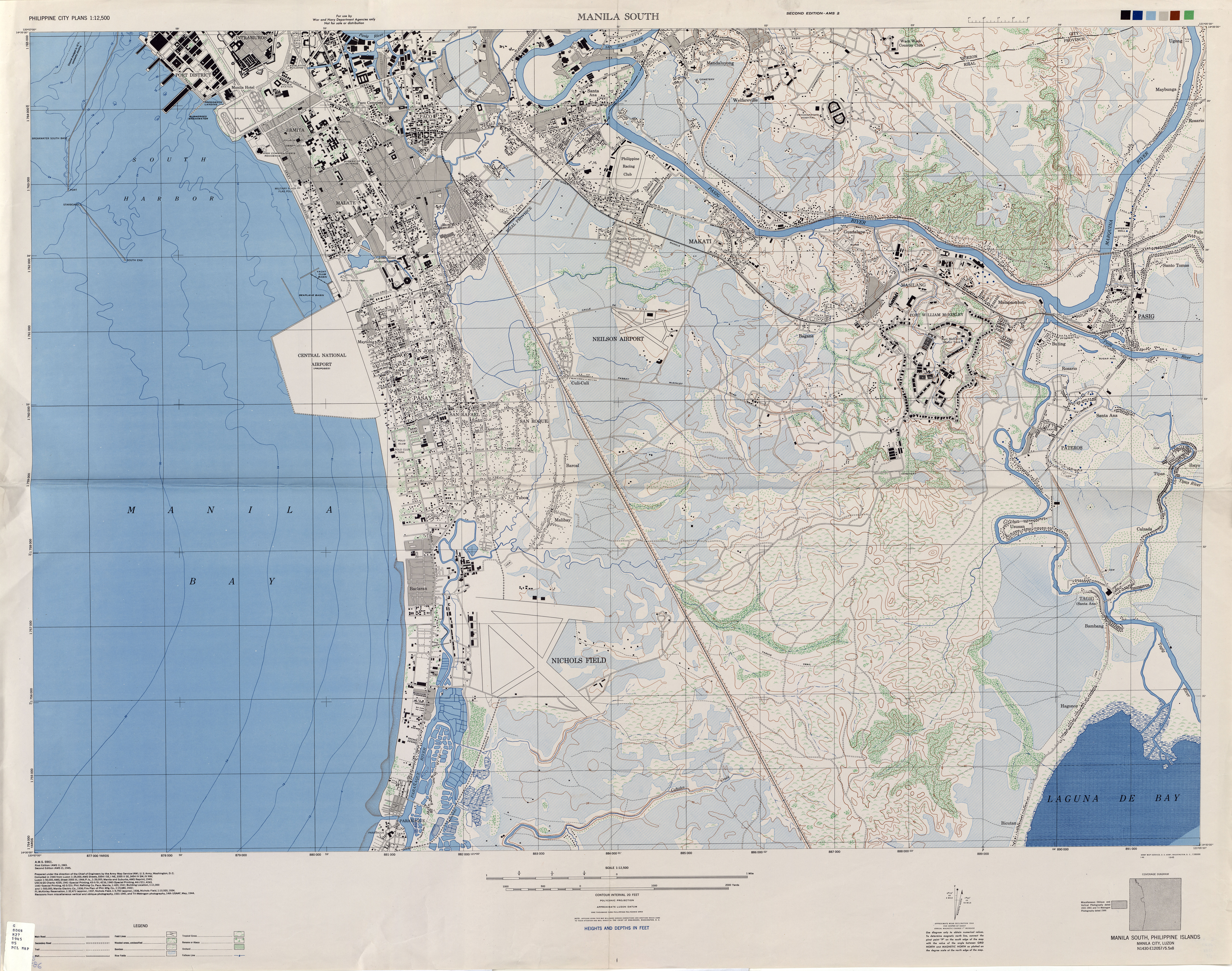
This project involves mapping the development of Metro Manila throughout the centuries. This includes the walled city of Manila and Manila province during the Spanish colonial period, the Greater Manila complex during the American and Japanese occupation, and the current Metropolitan Manila.
Available Maps
Descripcion Geometrica de la Ciudad, y Circunvalacion de Manila, y de sus Arrabales al Real Consejo de las Indias (1671)

