File:Hawick Circular Riding Route - geograph.org.uk - 592357.jpg
Jump to navigation
Jump to search
Size of this preview: 450 × 600 pixels. Other resolutions: 180 × 240 pixels | 480 × 640 pixels.
Original file (480 × 640 pixels, file size: 58 KB, MIME type: image/jpeg)
File history
Click on a date/time to view the file as it appeared at that time.
| Date/Time | Thumbnail | Dimensions | User | Comment | |
|---|---|---|---|---|---|
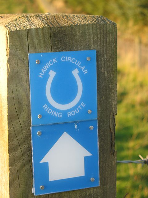
| current | 18:54, 6 February 2011 | | 480 × 640 (58 KB) | wikimediacommons>GeographBot | == {{int:filedesc}} == {{Information |description={{en|1=Hawick Circular Riding Route A 43km long orbital trail around Hawick. Here it follows the Drove Road before heading eastwards across to Drinkstone Hill.}} |date=2007-10-23 |source=From [http://www.g |
File usage
The following 88 pages use this file:
- Animals
- Ar:Map Features
- Ast:Map Features
- Az:Map Features
- Bg:Map Features
- Ca:Elements cartogràfics
- Cs:Key:route
- Cs:Map Features
- Cs:Relation:route
- Da:Map Features
- El:Χαρακτηριστικά Χάρτη
- Eo:Map Features
- Fa:Map Features
- Fi:Kartan ominaisuudet
- Gl:Key:route
- He:Map Features
- Hu:Map Features
- Ko:Relation:route
- Lv:Map Features
- Map features
- Ne:Map Features
- Oc:Elements cartografics
- Pl:Key:route
- Pl:Relation:route
- Pl:Tag:route=horse
- Pl:Zwierzęta
- Pt:Key:route
- Pt:Map Features2
- Relation:route
- Riding
- Ro-md:Map Features
- Ro:Map Features
- Sr:Map Features
- Sv:Map Features
- Tag:route=horse
- Uk:Relation:route
- Uk:Об'єкти мапи
- Zh-hans:Map Features
- Zh-hans:Relation:route
- Zh-hant:Map Features
- User:Chillly/Simple Map Features
- User:H4ck3rm1k3/OSMKeys
- Template:Ar:Map Features:route
- Template:Az:Map Features:route
- Template:Ca:Map Features:route
- Template:Cs:Map Features:route
- Template:DE:Map Features:route
- Template:Da:Map Features:route
- Template:Es:Map Features:animal
- Template:Et:Map Features:routes
- Template:FR:Map Features:animal
- Template:FR:Map Features:route
- Template:Fi:Map Features:route
- Template:Generic:ES:Map Features:route
- Template:Gl:Map Features:route
- Template:Hu:Map Features:route
- Template:IT:Map Features:route
- Template:JA:Map Features:animal
- Template:JA:Map Features:route
- Template:Ko:Map Features:route
- Template:Map Features:animal
- Template:Map Features:route
- Template:NL:Map Features:route
- Template:Oc:Map Features:route
- Template:Pl:Map Features:animal
- Template:Pl:Map Features:route
- Template:Pt:Map Features:route
- Template:RU:Map Features:animal
- Template:Uk:Map Features:route
- Template:Zh-hans:Map Features:route
- Template:Zh-hant:Map Features:route
- DE:Map Features
- DE:Relation:route
- DE:Riding
- DE:Tag:route=horse
- FR:Animaux
- FR:Éléments cartographiques
- ES:Animales
- ES:Tag:route=horse
- IT:Key:route
- IT:Map Features
- NL:Kaartelementen
- RU:Tag:route=horse
- RU:Верховая езда
- RU:Животные
- JA:Map Features
- JA:Relation:route
- JA:動物